ROUTES FROM GAUCÍN
The following routes ranging in length from 3 km to 19 km, are easily accesible from the village. All have detailed written instructions in English and Spanish, which can be downloaded in pdf format below (click on each link). You can also follow each route on wikiloc, using GPS technology.
For more information, please email gaucindaywalks@gmail.com, or hire a guide who will reveal all the secrets of the Serranía de Ronda trails.
Another excellent source of information written in English is a book written buy local author Patrick Elvin, “50 Walks in Gaucín, Andalucía”; which is available to by at the village stationery store or on Amazon.
APPROVED HIKING ROUTES BY DIPUTACIÓN DE MÁLAGA
GR 141 Gran Senda de Ronda El Colmenar Benarrabá
Route in Wikiloc
Download Route PDF
Ruta de Guzmán el Bueno
Route in Wikiloc
Download Route PDF
Sendero de la Sierra del Hacho
Route in Wikiloc
Download Route PDF
Sendero Gaucín Cañada del Real Tesoro
Route in Wikiloc
Download Route PDF
Variante Pico del Hacho
Route in Wikiloc
Download Route PDF
LOCAL HIKING ROUTES
ROUTE I : Up el Hacho
Route in Wikiloc
Download Route PDF
ROUTE II : Around El Hacho
Terrain: rough paths and tracks
Route in Wikiloc
Download Route PDF
ROUTE III : “La Adelfilla”. To the Ermita
Route in Wikiloc
Download Route PDF
ROUTE IV : Hidden corners of Gaucin
Route in Wikiloc
Download Route PDF
ROUTE V : Garganta las Palas
Route in Wikiloc
Download Route PDF
ROUTE VI : La Umbría
Time: 1 hour 30 minutes
Terrain: Tracks and paths
Route in Wikiloc
Download Route PDF
ROUTE VII : The Route of Guzmán el Bueno
Route in Wikiloc
Download Route PDF
ROUTE VIII : Molino del Capitán
Difficulty: Medium
Time: 2 hours 30 minutes
Distance: 8 Kms
Terrain: rough paths and tracks, some sections of steep descentAscent/descent: 350 m
Route in Wikiloc
Download Route PDF
ROUTE IX y X: Vias ferratas El hacho y El castillo del águila
more info
ROUTE XI : La Herriza y la Alquería
Difficulty: Medium
Time: 4 hours
Distance: 13 Kms
Terrain: rough paths and tracks
Ascent/descent: 450m
Route in Wikiloc
Download Route PDF
ROUTE XII : The Smugglers path
Difficulty: Easy
Time: 1 hour 30 minutes (with a car) OR 2 hours 30 minutes (walking from Gaucin petrol station)
Distance: 5 kms (with a car) or 10 kms (walking from Gaucín petrol station).
Terrain: rough paths and tracks
Ascent/descent: 150m
Route in Wikiloc
Download Route PDF
ROUTE XIII : Venta del Socorro to La Claridad
CURRENTLY THIS ROUTE IS BEING REVISED
ROUTE XIV : Route of the Muleteers
Difficulty: Moderate
Time: 1 hour 30 minutes
Distance: 3 Kms
Terrain: uneven rocky paths and tracks, some steep sections
Ascent/descent: 190m
Route in Wikiloc
Download Route PDF
GREAT TRAIL OF THE SERRANIA DE RONDA
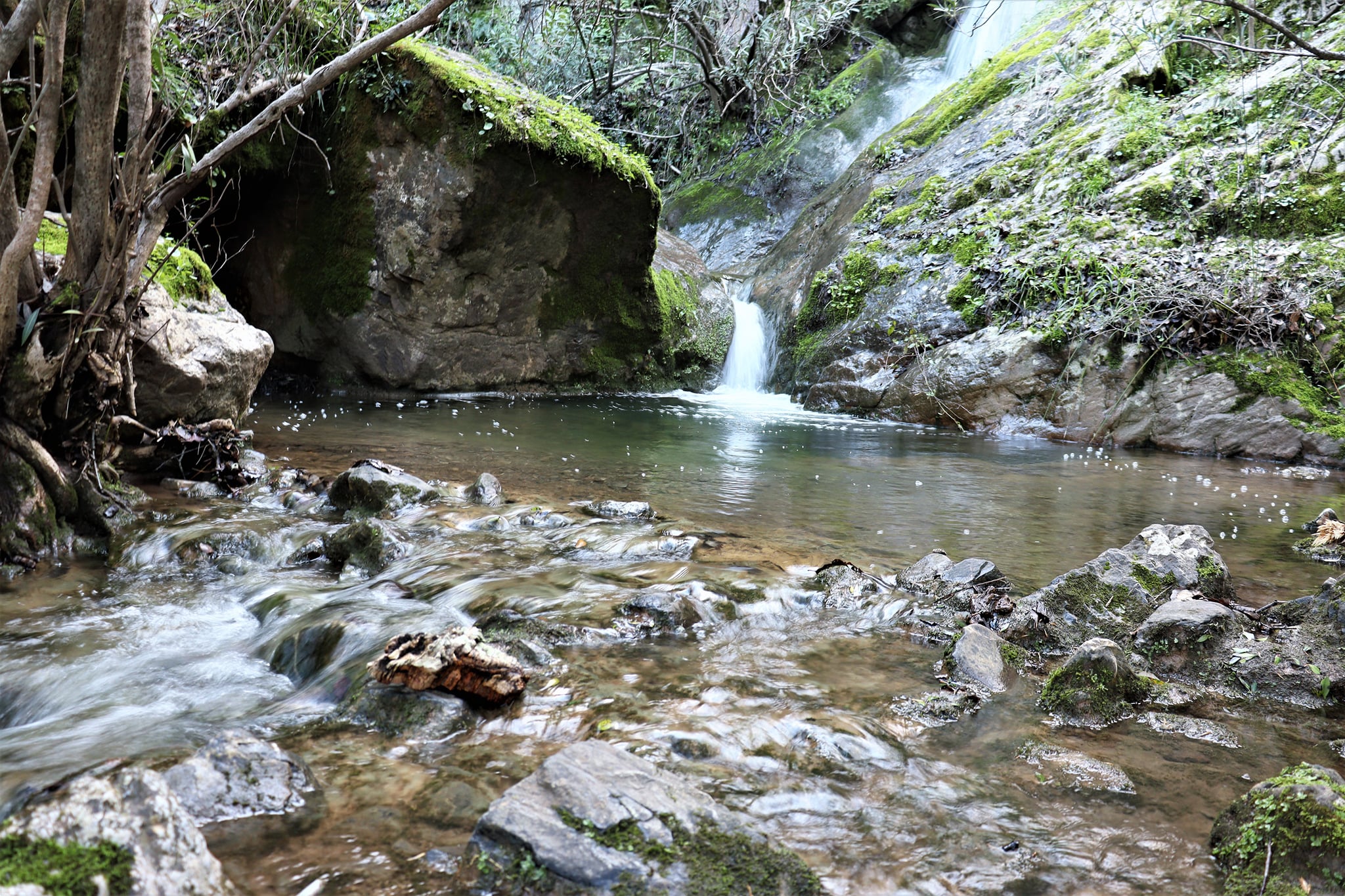
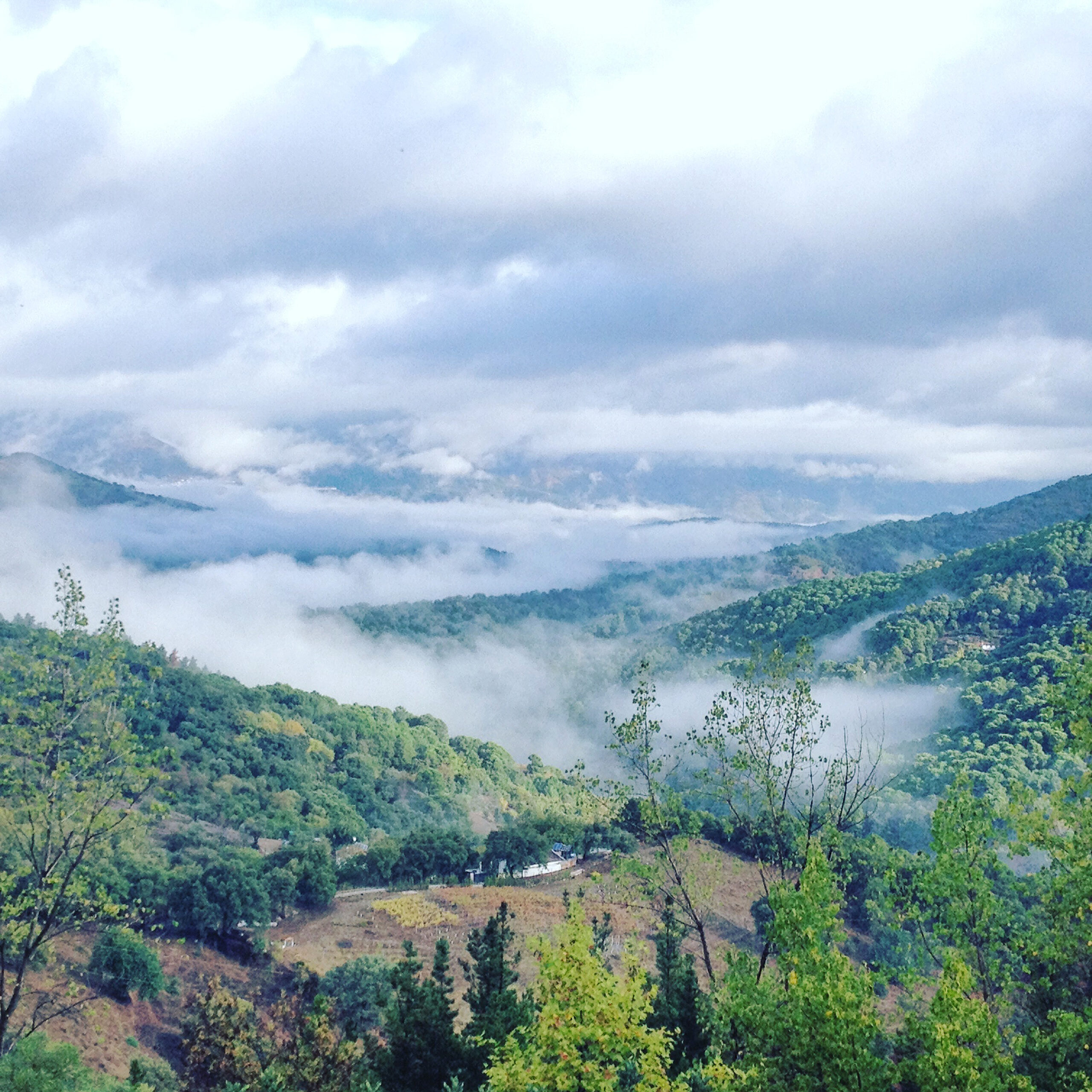
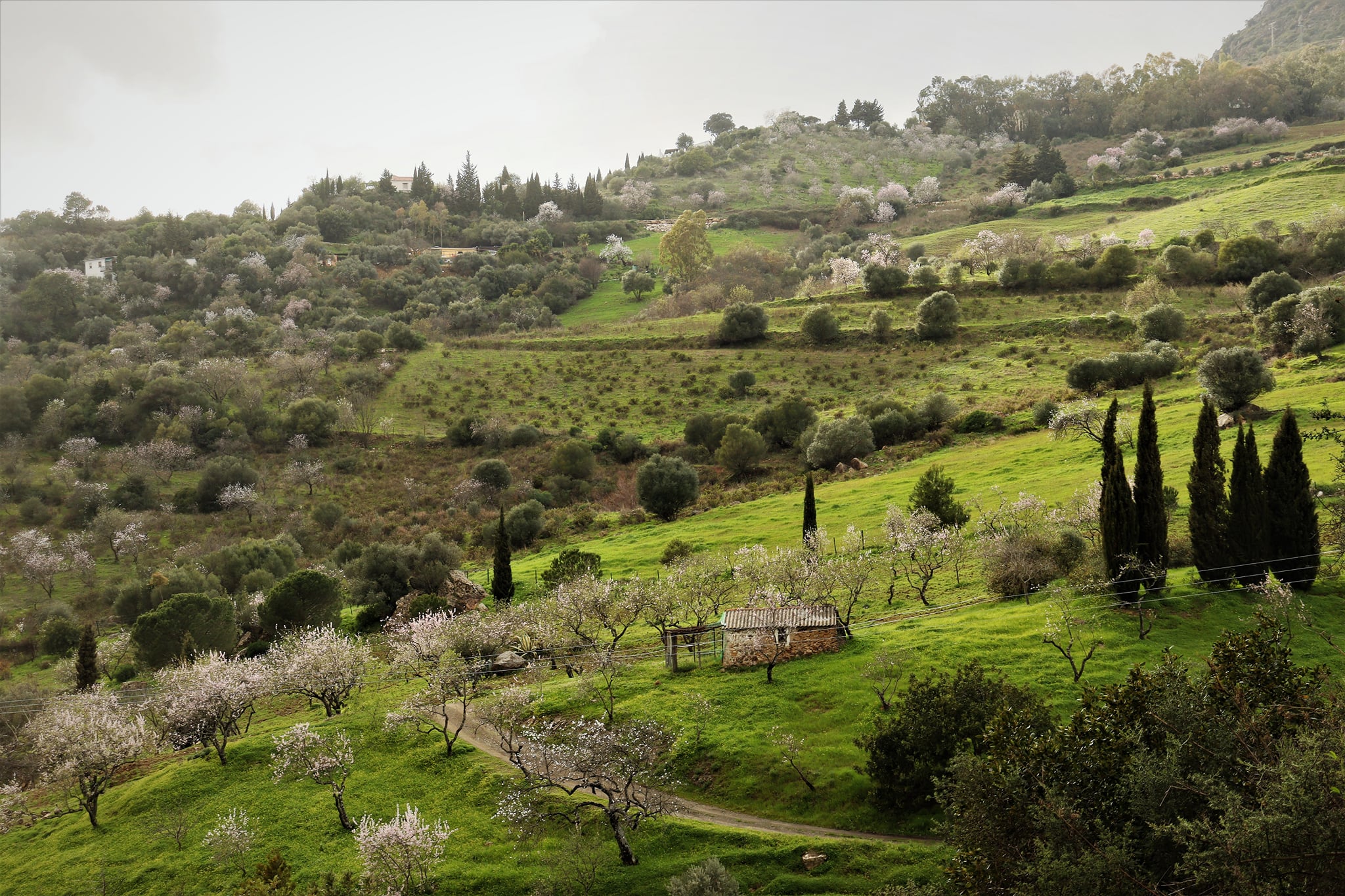
The area of Gaucín offers fantastic hiking opportunities for any level of experience. The 98 square kilometres of the municipality are a paradise of biodiversity and beauty with breath-taking views on even the shortest routes. Many of the routes are ancient paths walked by muleteers between the villages of the Serranía. The trails around Gaucín are part of the GR141 Gran Sendero de la Serranía de Ronda, a spectacular long-distance hiking route. The GR 141 is a circular route of 110 km in 6 stages starting and finishing in Ronda, passing through the mountain ranges and valleys of the rivers Guadiaro and Genal. Gaucín is featured in Stage 3 – “El Colmenar to Benarrabá”.
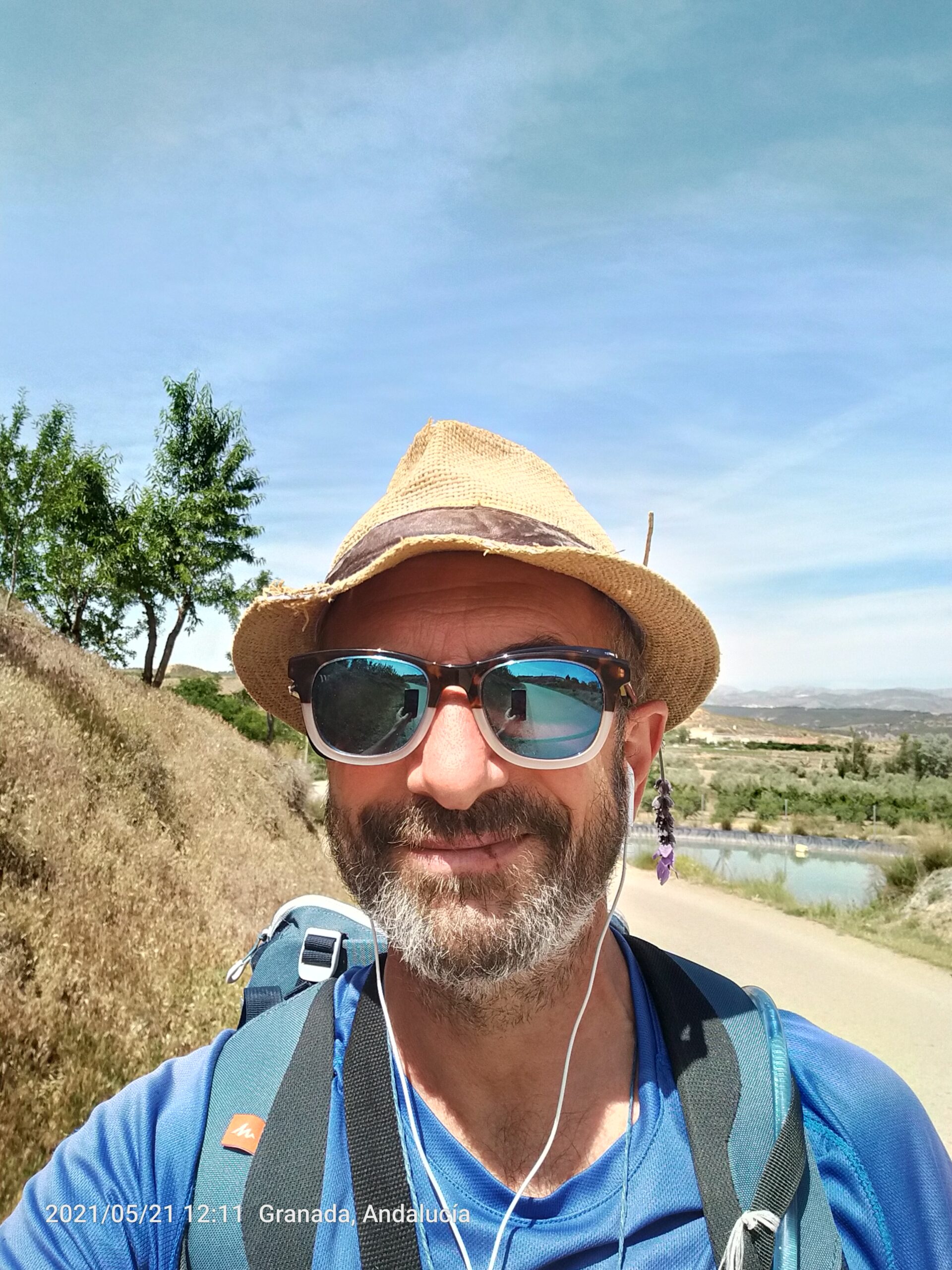
ENRIQUE HIGUERA
Profesional walking Guide
Enrique is a profesionalWalking guide since 2014. Now he is in Gaucin, where he lived for 15 years. He offers local walks around Gaucin and The Serrania de Ronda.
He offers gastronomical and cultural tours too and visits to the local Bodegas.

GUIAS DE NATURALEZA G3
Guía de senderismo
LEARNIG WHILE YOU WALK
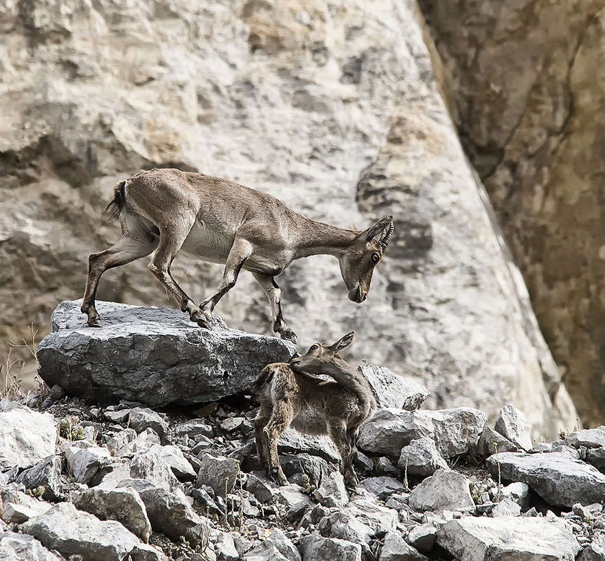
If while you are enjoying one of our beautiful hiking trails, you would like to learn about the biodiversity of this wonderful area you can contact Andalusian Natural Guides G3.
This company, led by FlorentPrunier, are specialize in ecoturism and can teach you about the surrounding flora and fauna.
Contact them at:
https://g3-guides.com/somos-guias-de-naturaleza-en-andalucia/


